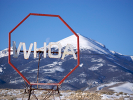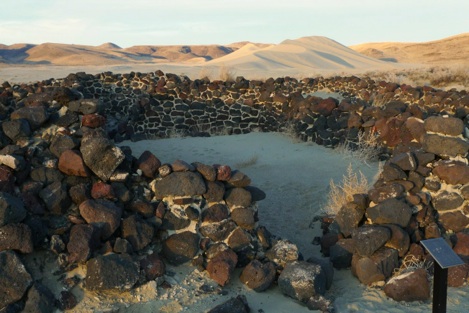

Everyone knows about the Rockies and the Colorado Plateau and everyone knows about the Sierra Nevada mountain ranges but what about the land in between? The region in between is called the Great Basin and is occupied largely by the State of Nevada. Filled with north-south mountain ranges separated by wide valleys (as seen above), what little water falls in this region stays in the region hence the name “basin”. It’s across this ripply arid land that I drove today.
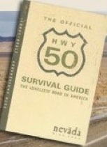
Life Magazine in 1986 dubbed the highway I travelled “The Loneliest Road in America”. AAA described Route 50 through Nevada by saying: “It’s totally empty. There are no points of interest. We don’t recommend it. We warn all motorists not to drive there unless they’re confident of their survival skills.” Wisely, the State of Nevada decided to turn its disparaging nickname and description into a marketing bonanza with the HWY 50 Survival Guide.
 The Survival Guide is passport booklet and audio CD which together lead you through this unpromising land. This highway cuts through the middle of the State from a national park in the east to Lake Tahoe in the west. Its path also closely follows the route of the famous Pony Express. The road was part of the Lincoln Highway, the first road to span our country from New York to San Francisco.

By driving the route, visiting sites, and having your Guide stamped along the way, you earn a certificate stating that you “Survived!” Silly quest I know but today “I survived!”
Great Basin is probably a national park you haven’t heard of. I hadn’t till I first drove by it a few years ago. While it’s purpose is to represent the entire Great Basin region, the National Park Service chose this spot because of: 1) Weeler Peak and the 5,000 year old bristlecone pine trees which grow on its glacier, and 2) Lehman Caves with some of the most beautiful formations I’ve seen. I couldn’t drive and hike to the peak due to snow but I was able to get a tour of the caves. Check out some pictures below.
Before I finish this post I have to talk about the drive across Nevada. There are few towns along the way. The few places that remain are from boomtown days when mining silver was all the rage. It is in these outposts of civilization, separated by as much as 120 miles, where the only services such as gas stations were available. I kept my tank filled! Towns of notable interest included:
- Ely with its railway museum,
- Eureka with its “opera” house,
- Austin with its many historic buildings,
- Fallon with its Naval Air Station, and
- Fernley with its Civil War military outpost.


